Services

Bronze, Silver & Gold. Same pace, three levels of detail.

Every tier starts the same way: scope confirmed and fixed price issued within 24 hours of enquiry, and a surveyor on site within five working days of instruction. The tier sets how far we take the data once we have it.

Bronze

Capture

Delivered within 5 working days of capture

  • Full terrestrial / mobile laser scan of the agreed extent
  • Registered, cleaned point cloud (E57, RCP, LAS)
  • 360° panoramic site imagery, linked to the cloud
  • Survey control network and accuracy statement
  • Secure web viewer for the whole project team

Ideal forFeasibility, verification, existing-condition records and design teams who model in-house.
Silver

Draw

Delivered within 10 working days of capture

  • Everything in Bronze, plus
  • 2D floor plans, elevations and sections (DWG / PDF)
  • Revit model to LOD 200: walls, floors, roofs, openings
  • Reflected ceiling plans where instructed
  • GIA / NIA area schedules

Ideal forPlanning, RIBA Stages 2–3, lease and acquisition due diligence.

Gold

Model

Delivered within 15 working days of capture

  • Everything in Silver, plus
  • Revit model to LOD 300 with structure and visible MEP
  • External topographical survey and site context
  • Drainage, levels and boundary information
  • Clash-ready federated model and dedicated survey lead

Ideal forTechnical design, refurbishment, fit-out and contractors who need a coordinated base model.

Deliverables

What arrives, by tier.

Every dataset we issue is registered, checked and reported against a stated accuracy, so nobody downstream has to guess.

Deliverable Bronze Silver Gold
Capture
Terrestrial / mobile laser scan of agreed extent
Registered, cleaned point cloud — E57, RCP, LAS
360° panoramic imagery linked to the cloud
Survey control network and accuracy statement
Secure web viewer for the whole project team
Drawings & model
2D floor plans, elevations and sections — DWG / PDF
Reflected ceiling plans, where instructed
GIA / NIA area schedules
Revit model — walls, floors, roofs, openingsLOD 200LOD 300
Structure and visible MEP in the model
Site & coordination
External topographical survey and site context
Drainage, levels and boundary information
Clash-ready federated model
Dedicated survey lead
Programme
Fixed quote and written scope24 hrs24 hrs24 hrs
Surveyor on site from instruction5 days5 days5 days
Delivery from capture (working days)51015

Process

Instructed to delivered.

From instruction to delivery we run one clear process: scope agreed in writing, price fixed up front, on site within days, data issued on a published date.

Step 01

Scope & price

Fixed quote within 24 hours. Extent, tier, outputs and accuracy written down.

Step 02

On site

Surveyor on site within five working days. One visit, whole building captured.

Step 03

Register & check

Cloud registered and QA-reported against the stated accuracy before anything is drawn.

Step 04

Deliver

Data issued on the published date, to the tier, with a web viewer link for the whole team.

Transparent pricing

Best value for money, by design.

Every tier is priced per square metre against a published rate card, with travel and access stated separately and no hidden extras. The price on the quote is the price on the invoice.

Our clients compare us on speed, accuracy and cost, and we are comfortable being compared on all three.

Get a fixed quote

Sectors

Every sector. Every typology.

Across every sector and building typology, from a single retail unit to an estate.

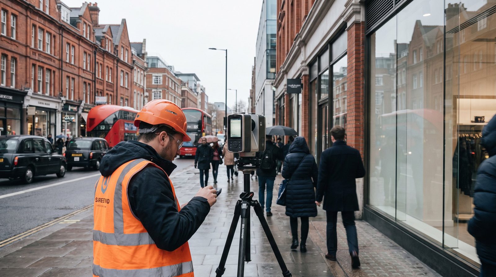
Surveyor scanning a high-street retail frontage

Retail & Leisure

High-street units, restaurants, gyms and hospitality fit-outs, captured out of hours to keep trading.

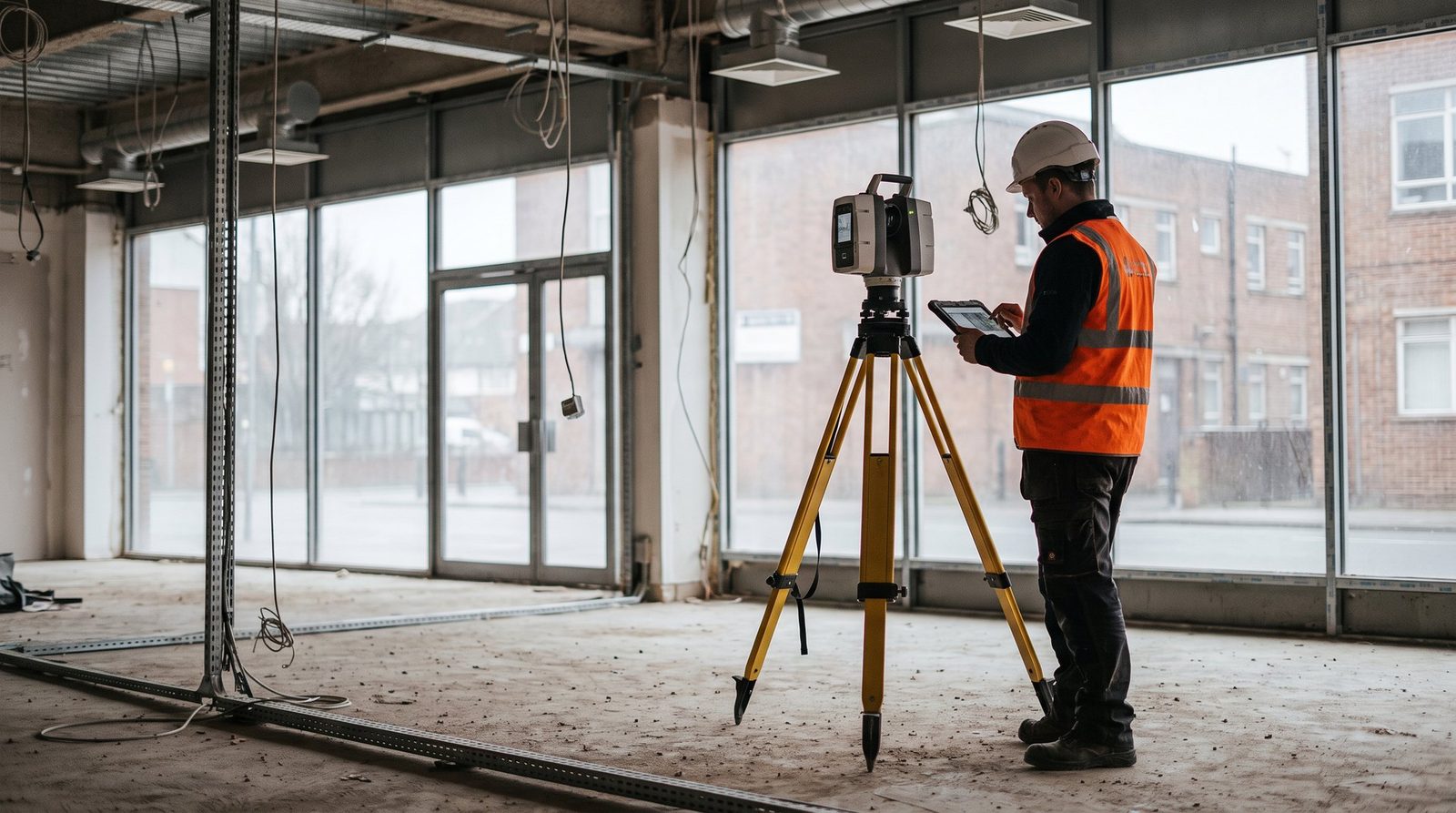
Terrestrial laser scanner on a stripped-out office floor

Commercial Offices

Cat A and Cat B refurbishment, landlord records and space-planning data across single floors or whole buildings.

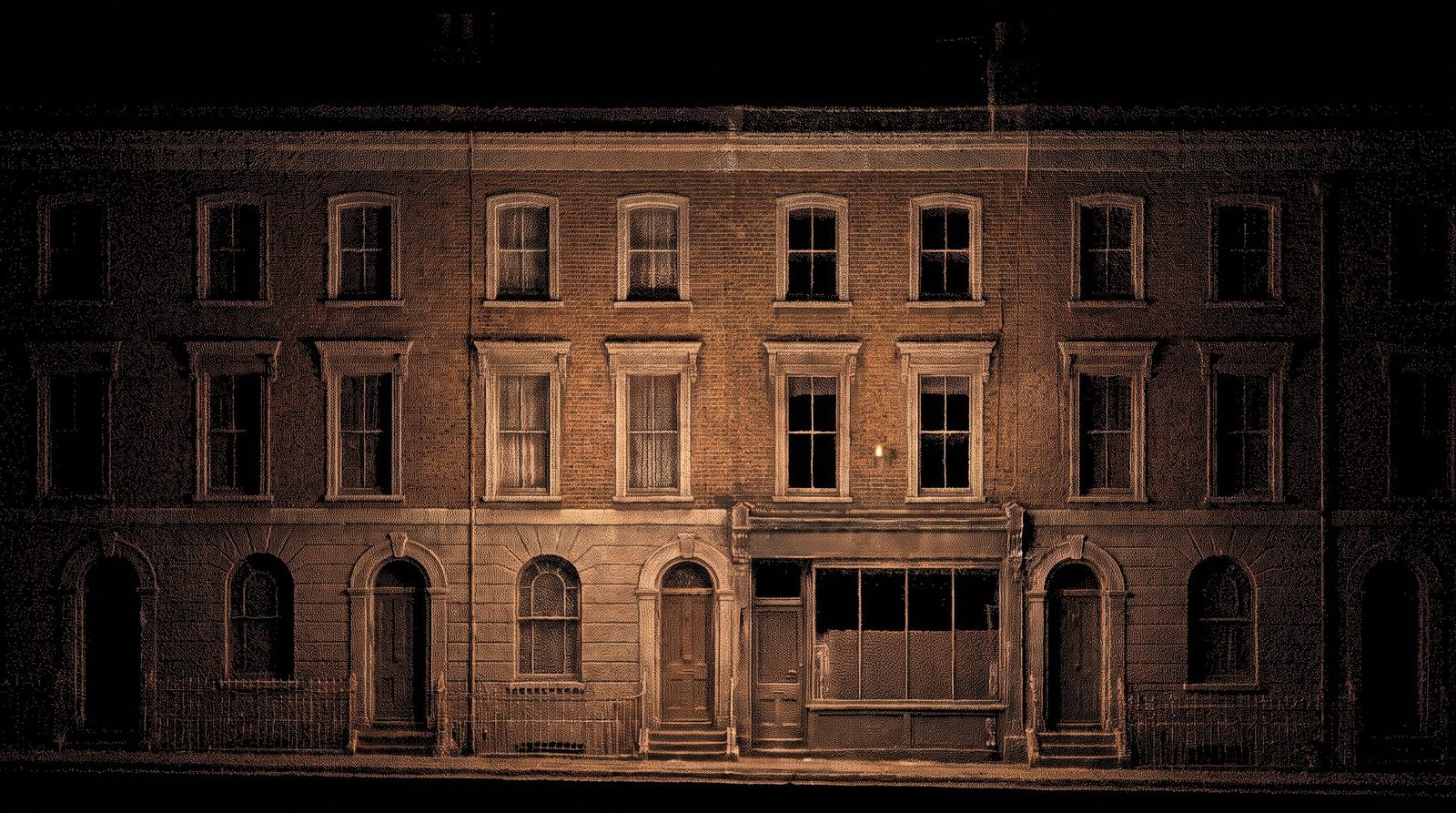
Brick terrace elevation at dusk

Residential

Houses, apartment blocks and estates for extension, conversion and regeneration schemes.

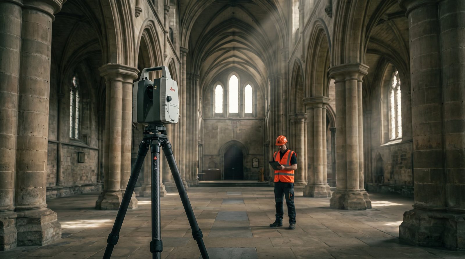
Laser scanner in a historic church nave

Heritage & Listed

High-detail capture of historic fabric for conservation, planning and record.

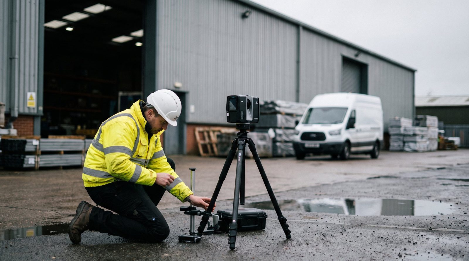
Surveyor setting up a scanner in an industrial yard

Industrial & Logistics

Warehouses, plant rooms and process spaces where MEP and structure matter most.

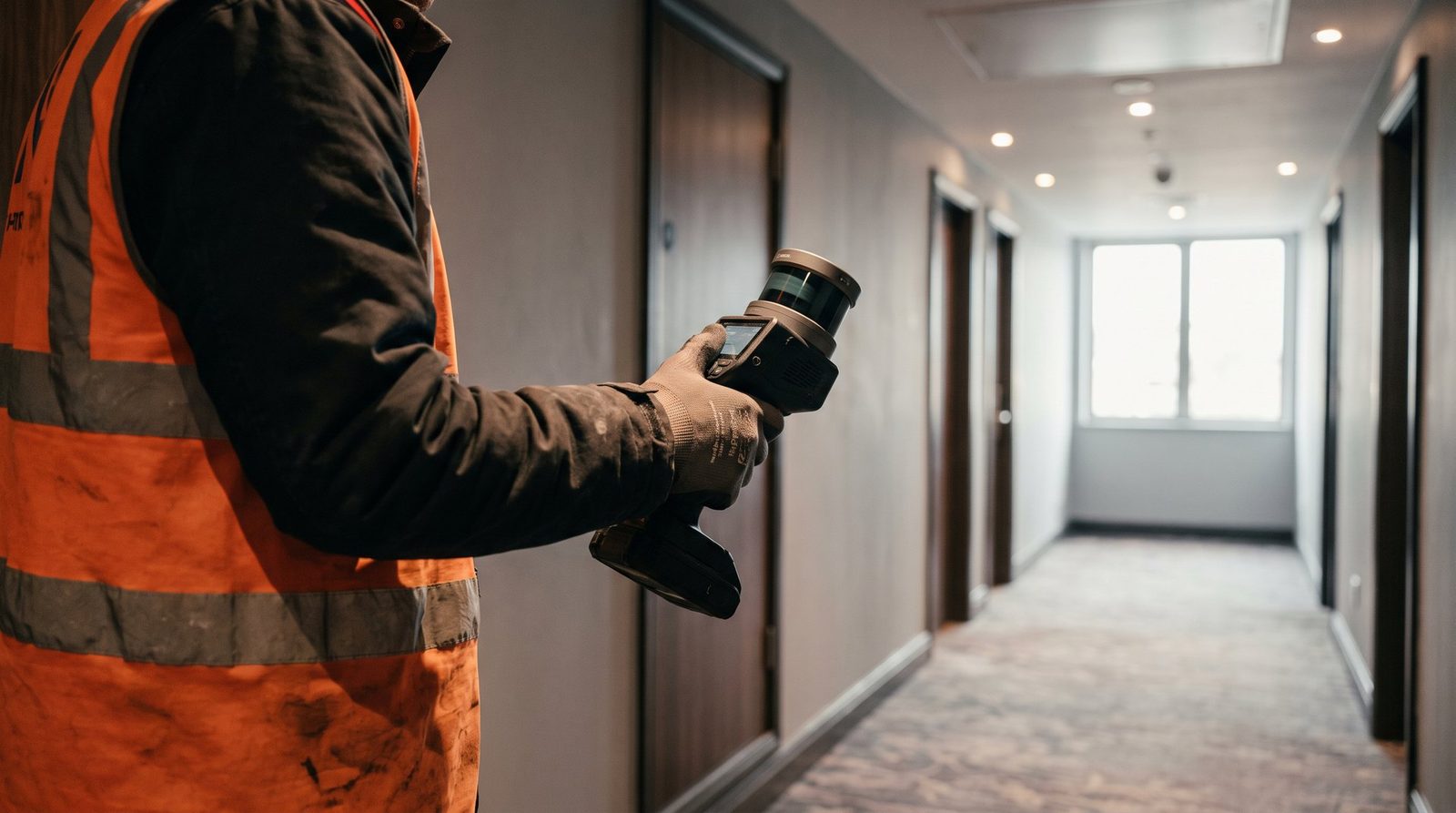
Handheld mobile mapping scanner in a corridor

Healthcare & Education

Live environments captured with minimal disruption and clear, phased access plans.

Technology

Captured once. Used by everyone.

The latest laser scanning, mobile mapping and drone capture, turning any building or site into reliable, model-ready data.

01

Terrestrial laser scanning

Leica BLK360 G2 imaging scanners for dense, survey-grade capture of interiors, elevations and structure.

02

Mobile mapping

Handheld SLAM capture that moves through whole floors in minutes, ideal for live and trading environments.

03

UAV photogrammetry

Roofs, façades and site context captured from the air and registered to the same control network.

04

Automated modelling pipelines

Cloud-to-drawing and cloud-to-Revit workflows that turn registered data into model-ready deliverables, checked by people.

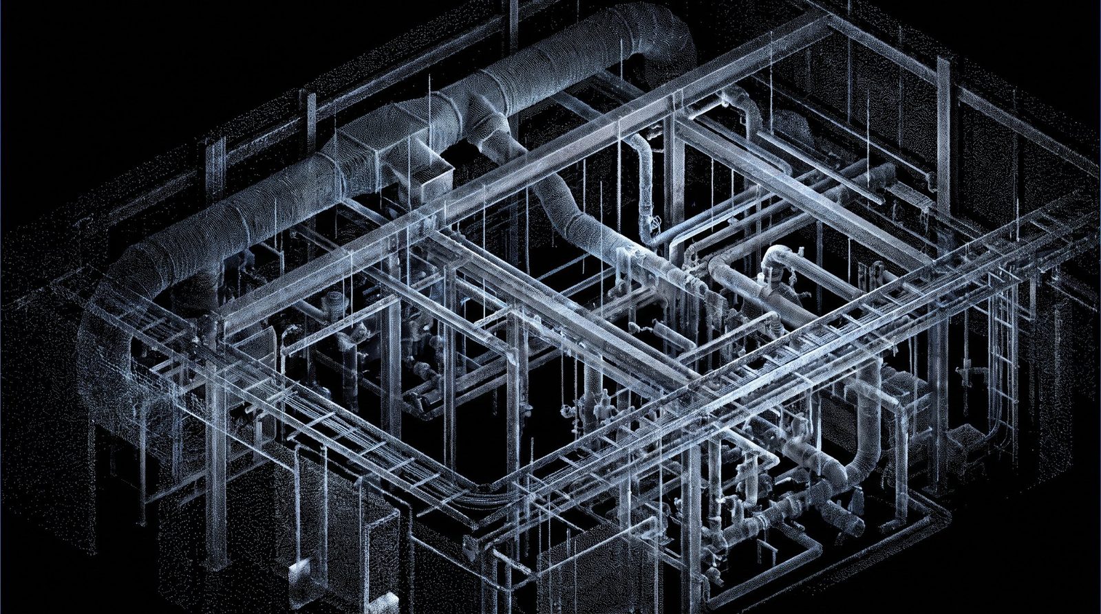
Point cloud of building services in a plant roomPoint cloud · MEP
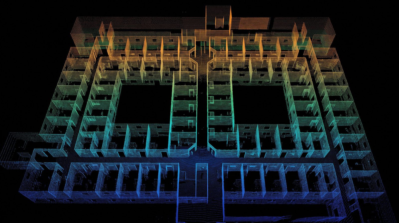
Elevation-coloured point cloud of a buildingPoint cloud · Elevation

Formats

Issued in the formats your team already uses.

Point cloud

E57 · RCP · LAS

Registered, cleaned and reported against the stated accuracy.

Drawings

DWG · PDF

Plans, elevations, sections and reflected ceiling plans.

Model

Revit · LOD 200–300

Coordinated, clash-ready and issued with a web viewer link.

Next step

Send the address and the extent. Have a fixed price within 24 hours.