Capture
Delivered within 5 working days of capture
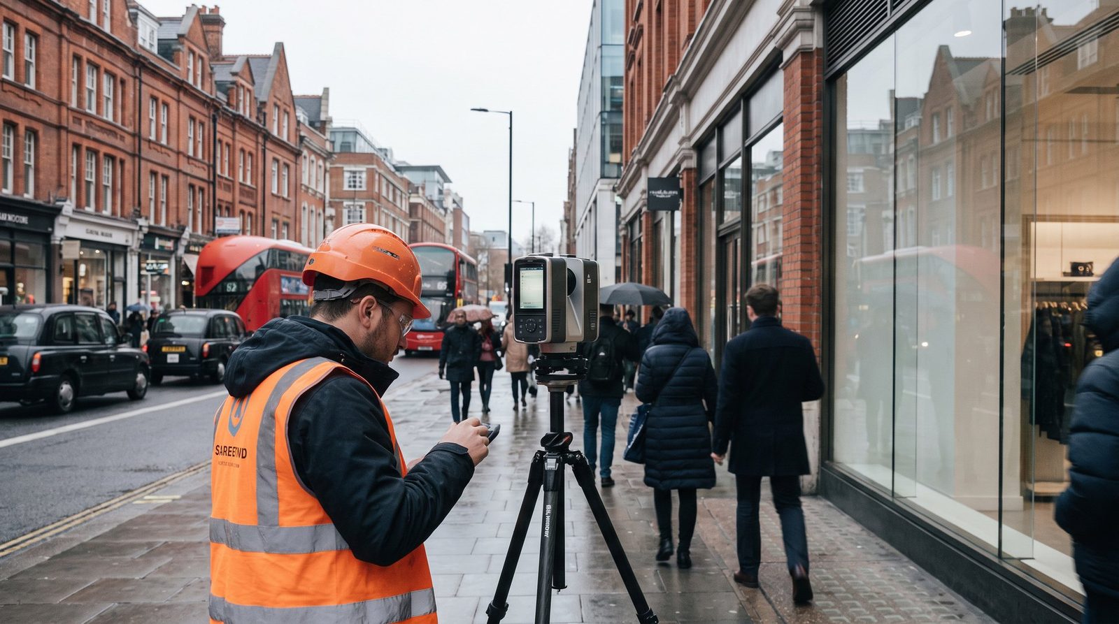
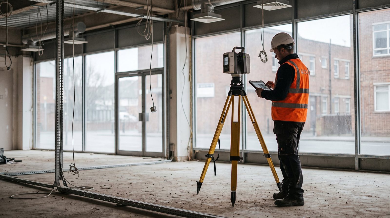
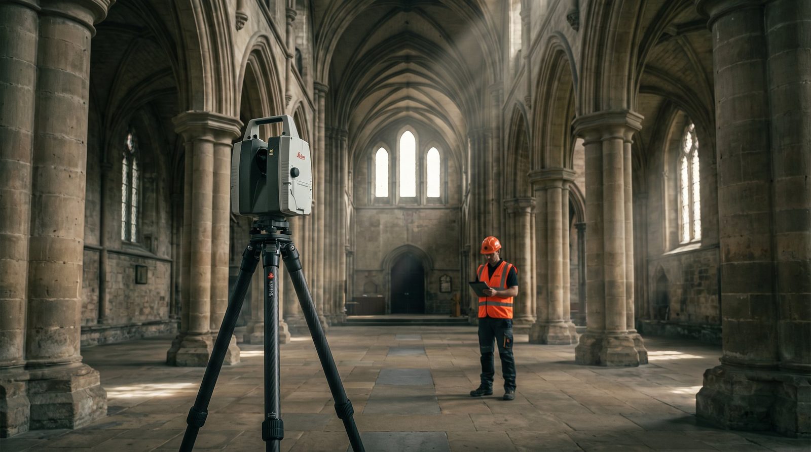
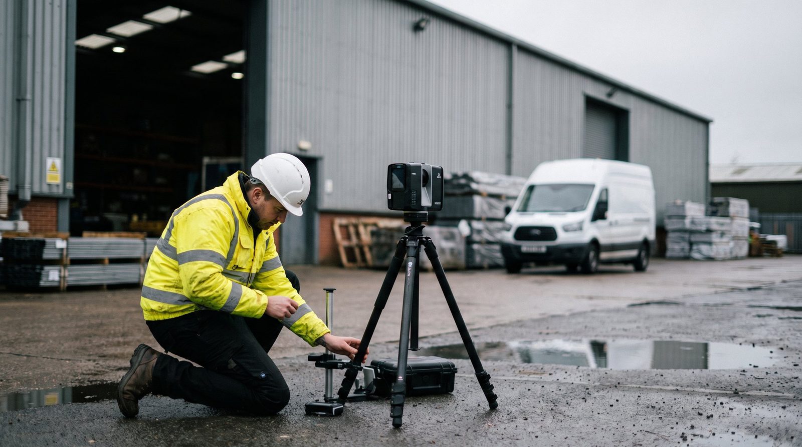
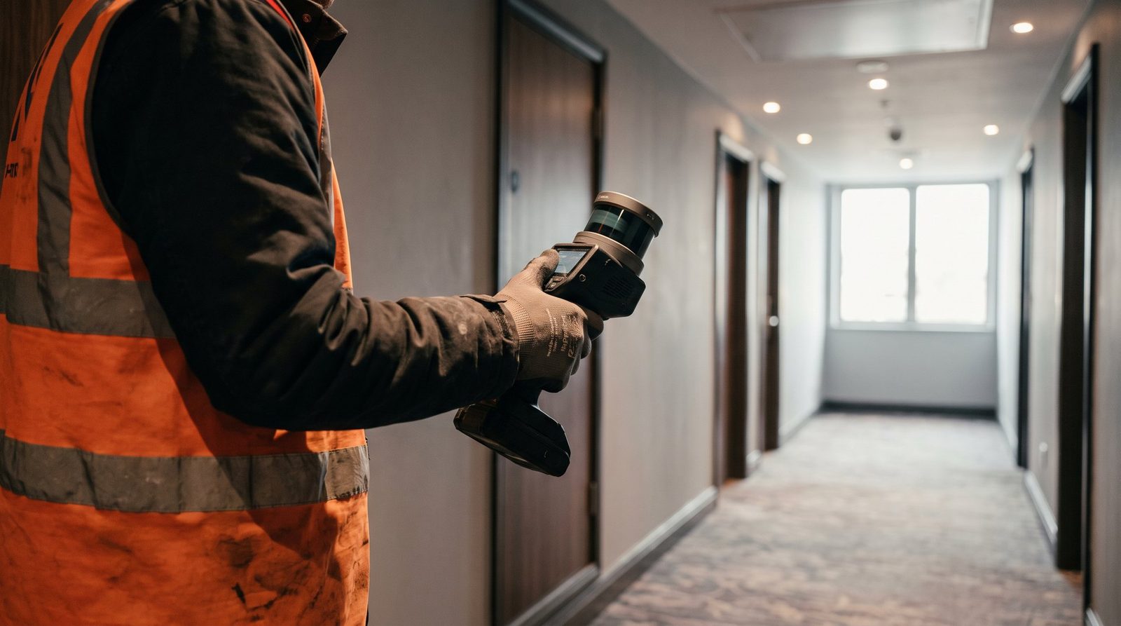
- Full terrestrial / mobile laser scan of the agreed extent
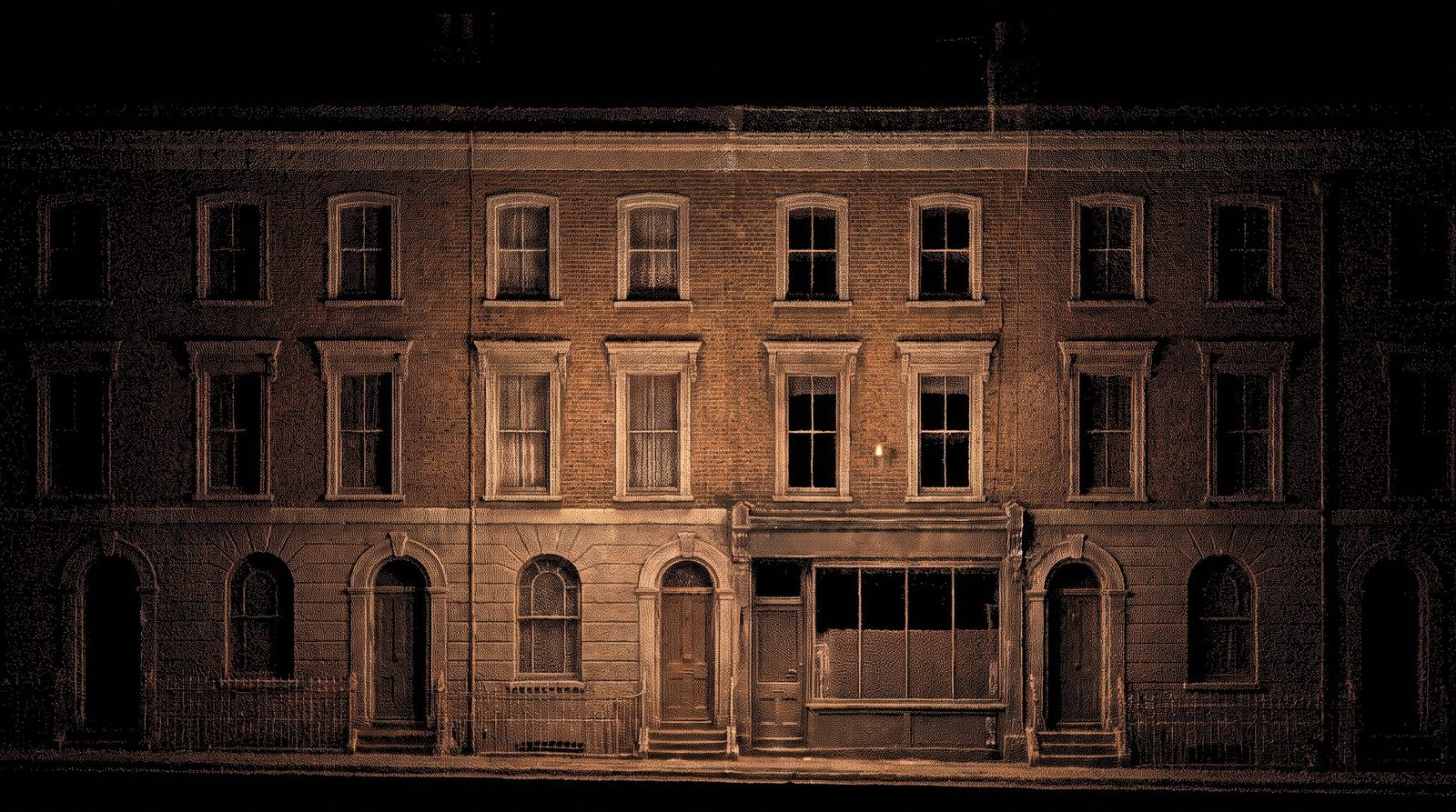
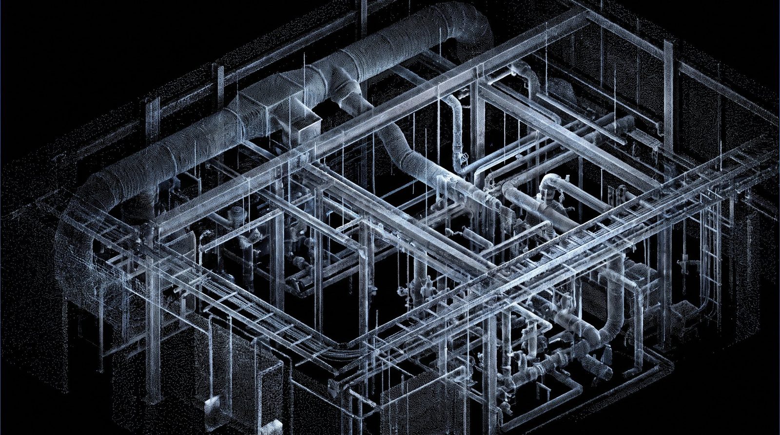
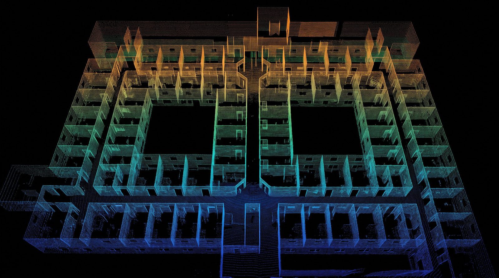
- Registered, cleaned point cloud (E57, RCP, LAS)
- 360° panoramic site imagery, linked to the cloud
- Survey control network and accuracy statement
- Secure web viewer for the whole project team
Ideal forFeasibility, verification, existing-condition records and design teams who model in-house.